
Drone volume calculation
Measure volumes with clear, reliable data
Stockholm Drone Teknik AB offers drone volume calculation for construction, civil engineering, quarries and material handling. By collecting overlapping imagery or laser data, we create digital models of stockpiles, excavations and other defined areas.
Volume calculation for gravel, soil and excavated material
The method can be used for stock inventories, monitoring earth movements and documentation before or after earthworks. Results provide an estimated geometric volume based on the measured surface and chosen reference surface.
The reference surface determines the calculation
Calculating volume requires defining the current surface and a comparison or base surface. This could be a previous survey, a design model or an estimated bottom surface. The reference affects results and is discussed with the client.
How drone volume calculation works
We define the object, plan the flight and collect data at an appropriate resolution. After georeferencing, we create a point cloud or surface model. Volume is calculated within agreed boundaries and documented with the method and assumptions.
Monitoring over time
Periodic surveys use comparable boundaries and references to track changes consistently. Volume is not weight; estimating weight requires relevant material density and condition data.
Deliverables and quotation
Deliverables may include volume tables, maps and elevation models as agreed. Specify the area, material type, monitoring interval and available reference surface.
Drone volume calculation for stock inventories
For repeat inventory surveys, documenting date, boundary and reference surface for each stockpile is important. Volume tables can be compared between surveys to track material flows. Surveys before and after excavation can support a geometric difference calculation. Results should be evaluated against measurement uncertainty and the choice of base surface.
Drone volume calculation – documentation and verification
Each calculation should identify the surveyed area, base surface and data collection date. When comparing two surveys, the same boundary and vertical reference should be used. Volume tables can also be supplemented with digital elevation models. For technical projects, Lantmäteriet’s information on reference systems may be relevant when ordering georeferenced data. We agree on documentation requirements before flight.
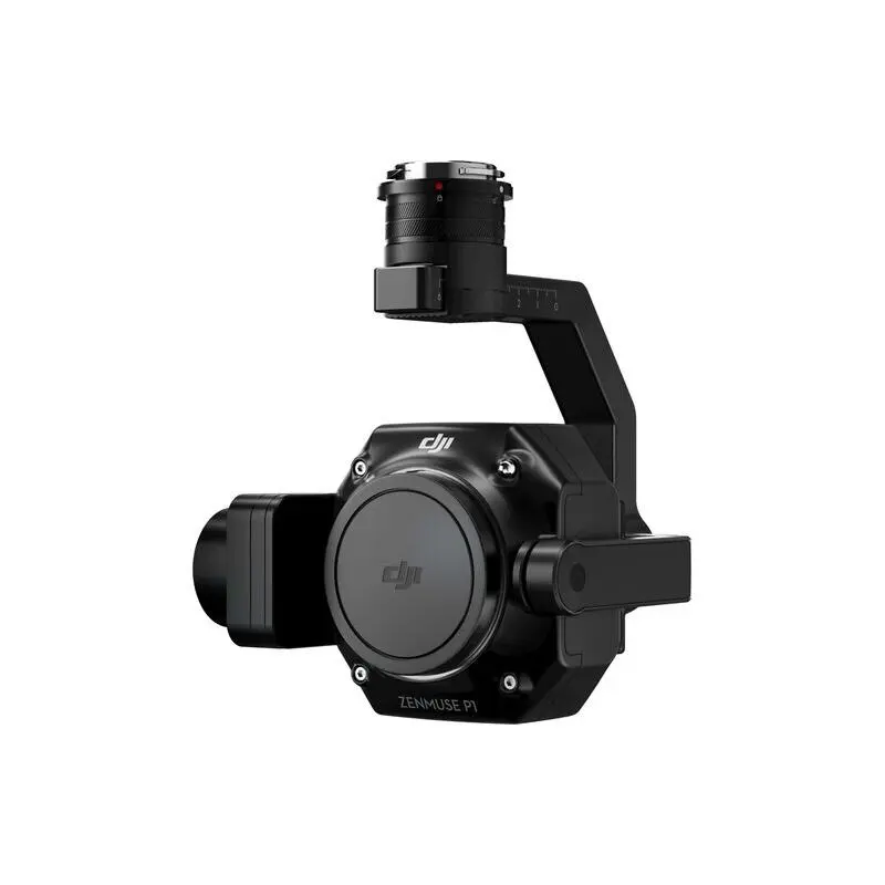
Camera and flight parameters are selected based on the survey area and geometric resolution requirements. Our Zenmuse P1 may be suitable for photogrammetric data collection.
Preparing a stockpile survey
Before measuring stockpiles, it is helpful to identify individual materials, their boundaries and any reference survey or design data. Where piles are close together or merge, the separation between individual objects must be agreed with the client. The surface assigned as the base is especially important: a pile placed on irregular ground cannot always be calculated reliably from its visible perimeter alone. We record assumptions and discuss whether additional information is needed before the calculation.
Comparing volumes over time
A volume table is most useful when it can be compared consistently between survey dates. For regular inventory, the same naming convention, site limits and reference surface can help the client follow changes. Measurements should be scheduled around material movements when possible, so that the survey reflects a defined moment. If the site geometry changes significantly, we review whether the original reference remains applicable. Delivered quantities describe geometric volume; they do not automatically account for moisture content, compaction or material density. This distinction is important when a client needs quantities for invoicing, purchasing or logistics. For a quotation, describe the number of stockpiles or excavation areas and the information you already have.