
Drone inspection of bridges and concrete structures
Why use drones to inspect concrete and bridges?
Bridges and concrete structures require regular inspections carried out safely, quickly and cost-effectively. Drones combine detailed imagery with reduced disruption to traffic and the working environment. Geotagged images and measurable results improve traceability.
Drones provide access where scaffolding, ropes or lifting platforms might otherwise be needed. They reduce exposure to falls and road work, which may reduce lead times and costs while improving data quality.
- Safety: Remote inspection, including beneath bridge decks and hard-to-reach surfaces.
- Speed: Rapid mobilisation and efficient data collection.
- Quality: Near-millimetre detail using high-resolution sensors and stable flight profiles.
- Traceability: The same point can be compared over time to support planned maintenance.
Common applications
For example, we can help with:
- Visual mapping of cracks, raised edges and surface spalling.
- Indications of moisture ingress and thermal anomalies using thermal cameras.
- Checks of joints, edge beams, railings and connections.
- Volume and dimensional checks and as-built verification.
- 3D models and orthophotos for planning, procurement and decisions.
Inspection techniques and sensors
We combine several methods depending on requirements:
- High-resolution RGB imagery (20–48 MP) for visual assessment and crack detection.
- Optical zoom/telephoto for close-ups from safe distances.
- Thermography to identify indications of moisture, delamination and heat loss.
- Photogrammetry for orthomosaics and 3D models with measurable geometry.
- RTK/PPK positioning for improved positional accuracy.
- LiDAR where needed for structures where photogrammetry is difficult.
We plan flight altitude and image overlap so that ground sampling distance (GSD) meets the objective and small defects can be documented clearly.
Crack detection – how we work
We begin with an overview scan. We then fly closer, often using telephoto optics, to document areas of interest. We ensure well-lit, sharp and perpendicular image sequences. We deliver measurable photographs and, where needed, a 2D/3D crack map.
Note: Exact detection limits depend on geometry, lighting and permitted distance; millimetre-scale details can often be documented.
Recommended drone platforms
We use professional UAS platforms (e.g. DJI Matrice with H20/H20T, Mavic 3E/3T or equivalent), offering:
- Stability and safety (obstacle detection, redundancy and logs).
- Accuracy (RTK support and low-vibration gimbal).
- Flexibility (quick switching between RGB, zoom and thermal sensors).
Safety and regulations
We comply with Swedish regulations and established procedures for risk assessments, site cordons and NOTAM/landowner contacts where required. We document flights and checklists to support audits and quality management.
Deliverables
Customers can choose one or several of the following:
- Geotagged images with clear annotations.
- Orthophotos and 3D models for measurement of volumes or distances.
- Thermal overviews with comments.
- Technical report with priorities, risk assessment and proposed action.
- Comparisons over time to identify trends.
Benefits for your project
- Less disruption to traffic and shorter closures.
- Better working conditions with less work at height.
- Faster decision-making data so maintenance can be planned on time.
- Lower total cost compared with traditional methods where applicable.
How to place an order
- Needs assessment – define goals, surfaces and data types.
- Planning – risk assessment, method and flight profile.
- Data collection – efficient flight with documented parameters.
- Processing – photogrammetry, analysis and classification.
- Delivery – reports, maps and raw data, followed by optional follow-up planning.
Frequently asked questions
How close can you fly?
It depends on safety margins, airspace and structure. We generally combine telephoto zoom with safe distances.
Can you identify very small cracks?
Often, yes. With suitable optics and flight profiles, millimetre-scale detail can be documented, although lighting and surface conditions affect the result.
How quickly will we receive the material?
Usually within 1–5 working days, depending on scope and report type.
Why choose us?
We are trained and insured UAS operators with documented methods for bridges and concrete. We provide clear reports that engineers, project managers and clients can use. Contact us to prepare a plan and a fixed price.
Drone inspection of bridges for maintenance planning
A drone inspection of bridges can document the underside of the deck, piers, abutments and visible joints where access and flight conditions permit. We agree on the structure identification and image naming with the client before the survey so observations can be located for follow-up by the responsible engineer. This complements our other drone inspection services. For background on Swedish infrastructure maintenance, see the Swedish Transport Administration’s bridge maintenance information.
Equipment for visual documentation
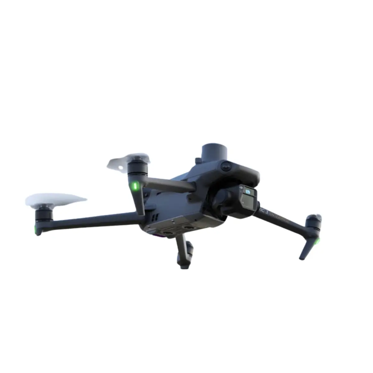
We select the camera and aircraft according to the required image detail and the available safe separation. High-resolution imagery and a consistent image sequence are more important than flying close to the structure. The DJI Mavic 3 Enterprise is one example of a camera drone in our fleet.
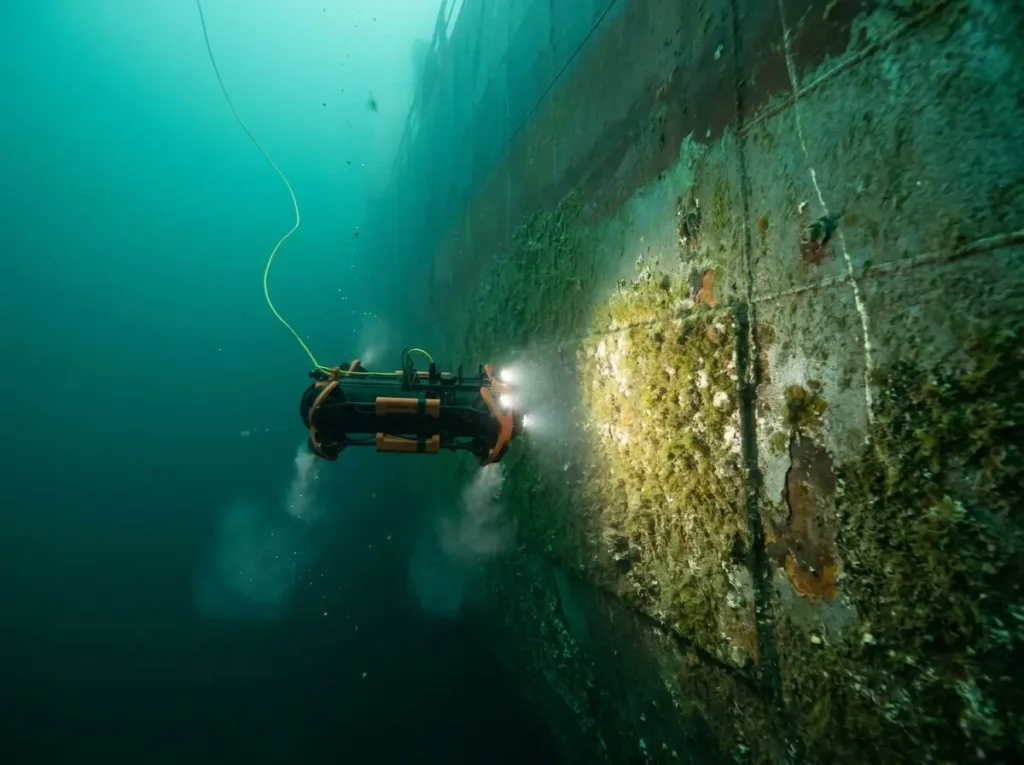
How ROV technology works in underwater inspection
ROV inspection How ROV technology works in underwater inspection We use the Chasing M2 Pro,…
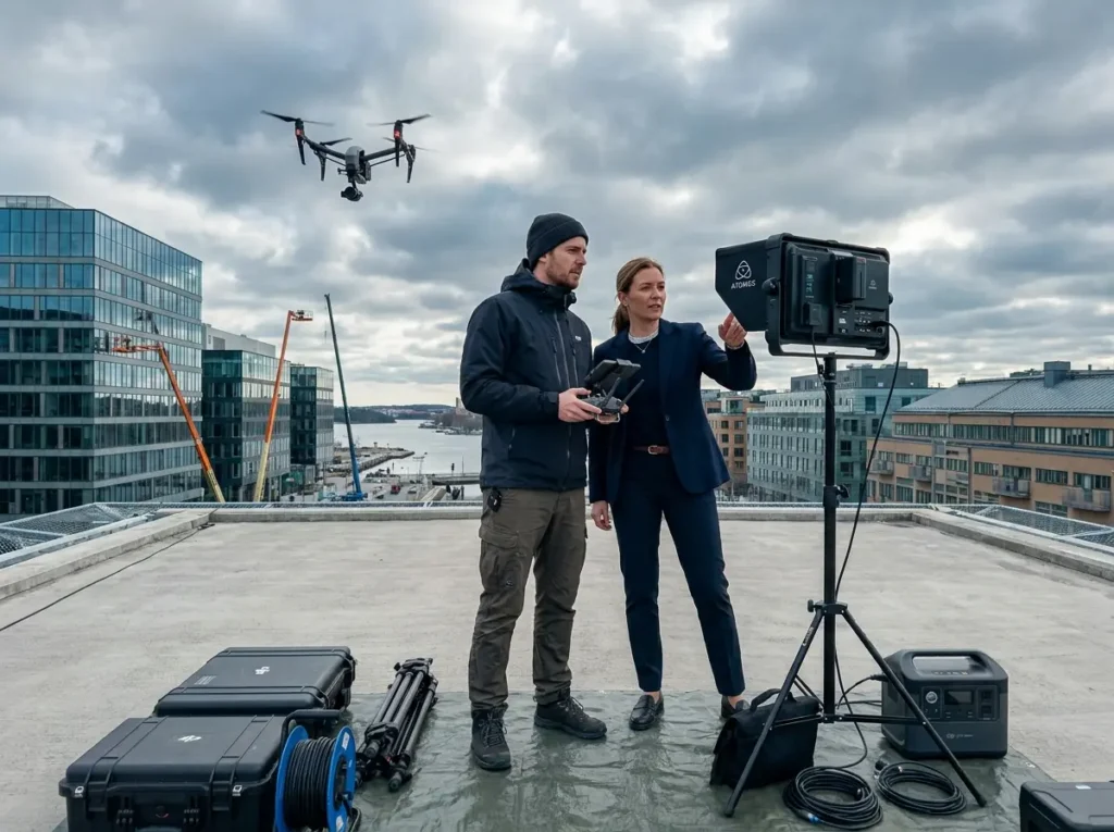
How drone filming works: a guide
Film with drone How drone filming works: a guide What Is Drone Film? Drone filming…
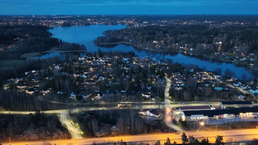
Aerial imagery for documentation and marketing
Aerial photography with drone Aerial imagery for documentation and marketing Aerial Photography with Drone –…
Drone inspection of bridges: planning and follow-up
Before a drone inspection of bridges, we review accessibility, previous observations and the surfaces to be documented. Camera angles and distance are selected according to the size of the features being examined. Repeat drone inspection of bridges benefits from comparable imagery, enabling the client to identify changes and prioritise further investigation. A drone inspection of bridges provides visual evidence for the responsible structural engineer or inspector; it does not replace required material testing or structural assessment.
Drone inspection of bridges: image quality and observation points
Documentation requirements for a drone inspection of bridges should be established before the flight. An overview image shows where a detail photograph belongs, while complementary close-up photographs allow the inspector to review individual observations. Flight planning considers which surfaces need to be photographed, the required camera angle and a safe capture distance. Comparisons between dates benefit from comparable viewpoints and resolution where practical. If a surface cannot be inspected from a safe position, that limitation should be documented.
Using the results from drone inspection of bridges
Images can be organised by structural element, such as abutments, deck surfaces, edge beams and connections. Linking overview images to detail photographs helps the responsible inspector locate observations and plan further investigation. For repeat monitoring, retaining the original images and capture dates makes it easier to track changes systematically. A drone inspection of bridges should therefore be planned around the intended use of the resulting information. For maintenance planning, a set of location-referenced photographs may be more useful than a general video. To document geometry or changes across time, different data products may be appropriate. The material should always be reviewed by the responsible technical specialist.