
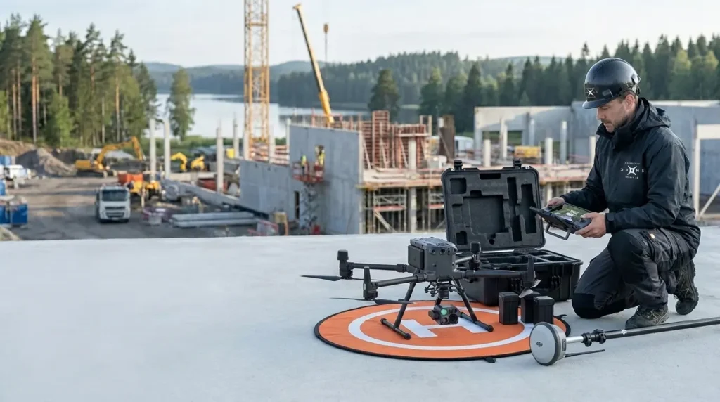
Some of Our Completed Drone Projects
Every assignment requires the right technology, careful planning and a delivery adapted to the customer’s needs. Here we show a selection of drone projects where Stockholm Drone Teknik AB has used drones for inspection, mapping, photogrammetry, LiDAR and technical documentation.
Explore our projects and see how drone technology can create efficient, safe and useful results in practice.
Selected Projects
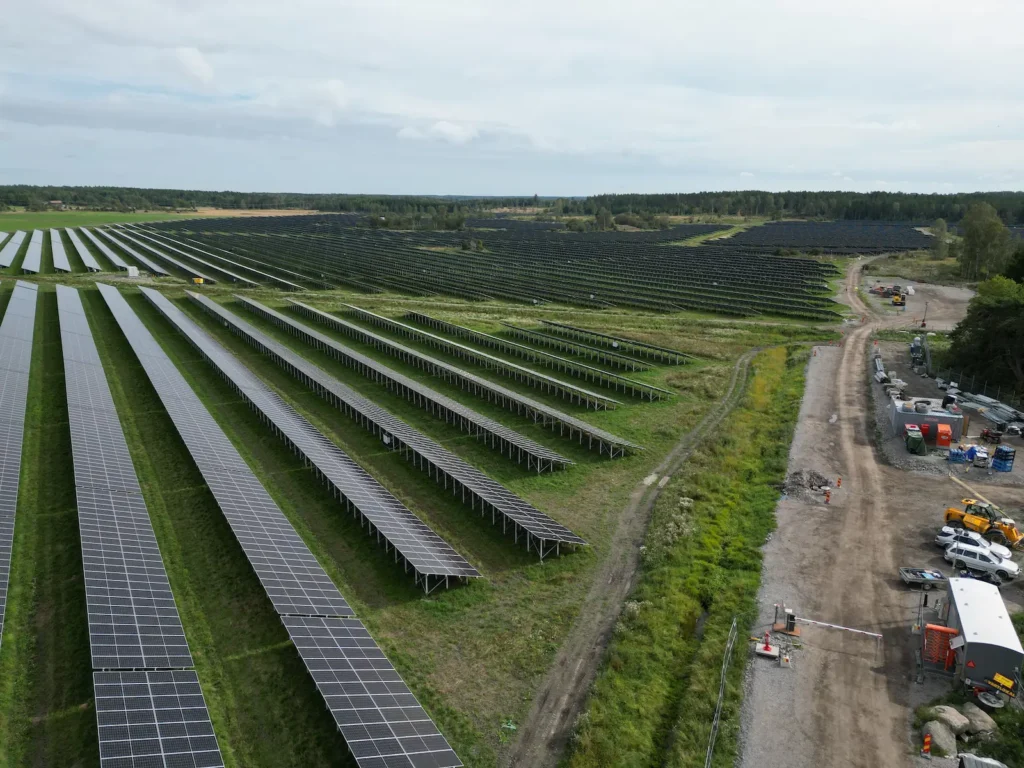
Solar Park, Uppsala
Thermal inspection of an entire solar park with focus on identifying deviations, hotspots and potential faults.
Delivery: high-resolution video material from a thermal camera as well as documentation used as a basis for further analysis and action planning.
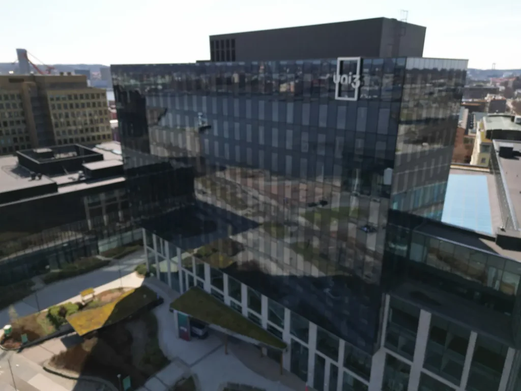
Glass Façade, Gothenburg
Collection of video material from a glass façade to enable identification of moisture damage and cracking.
Delivery: high-resolution video adapted for technical analysis of the façade’s condition and potential risk areas.
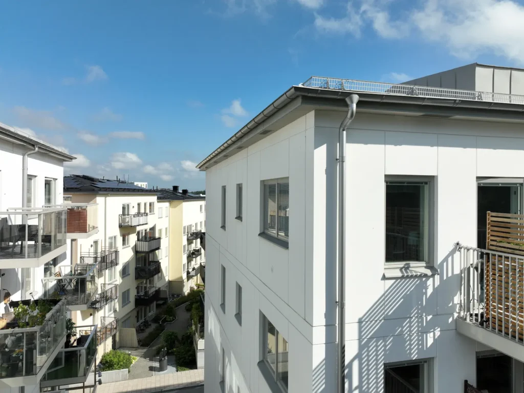
Façade Inspection, Vega
Detailed inspection of the façade of an apartment building with focus on detecting cracks, wear and moisture-related damage.
Delivery: video-based material for careful review and assessment of the façade’s technical condition.
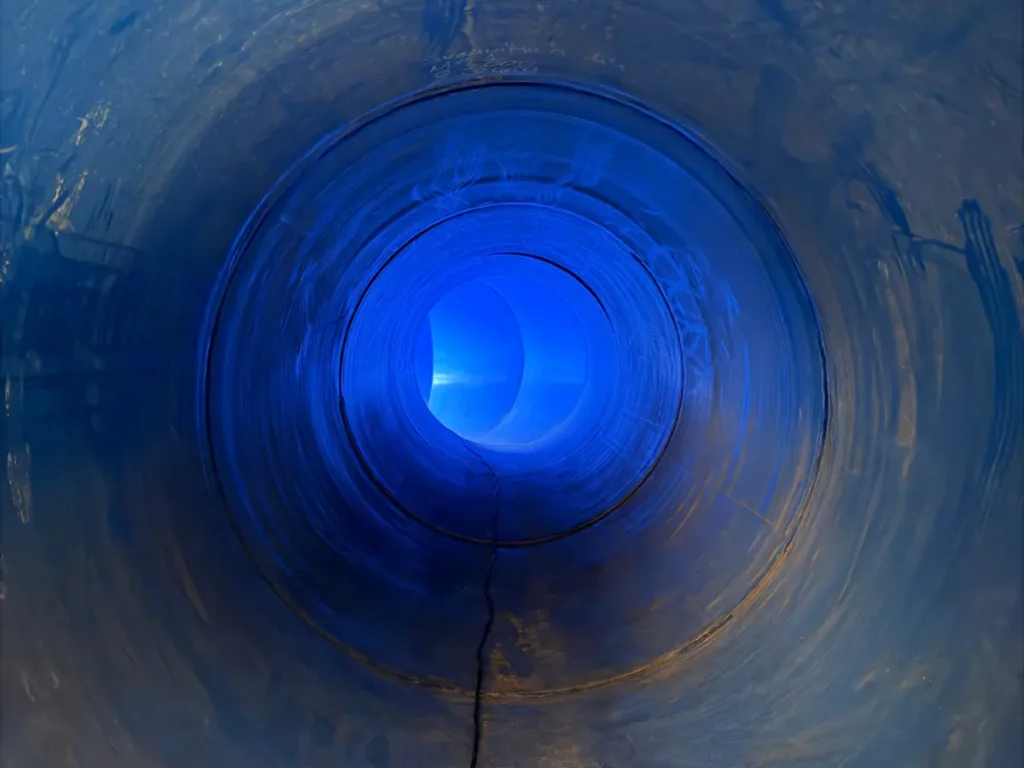
Shaft Ventilation, Stockholm
Inspection of shaft ventilation systems in an indoor environment where access would otherwise be limited.
Delivery: real-time video during the inspection as well as recorded video material for subsequent analysis and documentation.
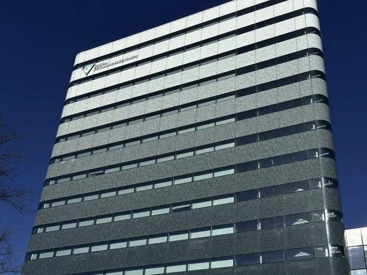
Regionens Hus, Gothenburg
Stockholm Drone Teknik AB carried out a drone façade inspection to document and identify potential damage in a larger glass façade.
The assignment focused on clear and structured video documentation of different parts of the façade to support further review and assessment of possible damage in the glass sections.
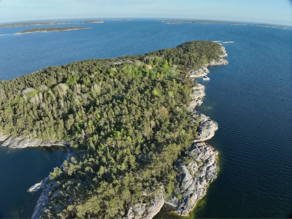
LiDAR Scanning, Stora Husarn
Drone-based laser scanning of a larger area with terrain and vegetation to create detailed 3D data for further analysis and project planning.
The LiDAR technology made it possible to collect ground data even in areas with vegetation.
Delivery: point cloud in LAS/LAZ format as well as high-resolution images used as a basis for further processing and analysis.
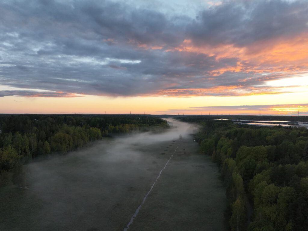
Landscape Photography, Länna
Drone photography of a natural area in Länna with focus on landscape, lighting conditions and atmosphere.
Delivery: high-resolution aerial images for visual documentation and communication.
Do You Have a Project Where Drone Technology Can Create Better Data?
Every assignment has different conditions. We help companies, property owners and organisations find the right method for inspection, mapping, photogrammetry, LiDAR, photography, video and technical documentation.
Contact us and we will review the project’s needs and create a setup adapted to the assignment.
Learn More About Drone Flight Rules
Professional drone assignments require careful planning and flights must be carried out according to applicable regulations. On Transportstyrelsen’s website, you can find official information about drone flights in Sweden, operator registration, training and permits.
Read more about drones at Transportstyrelsen.