
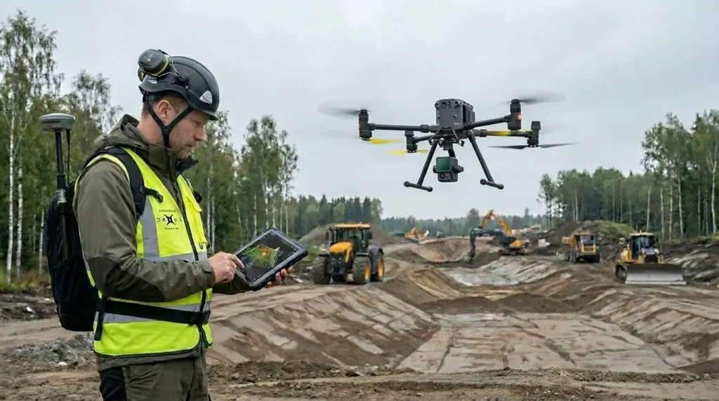
Drone Surveying for Construction, Mapping and Technical Data
Precision in Every Data Point
Drone surveying is used to collect accurate geospatial data quickly across large areas. The method can replace or complement traditional surveying and provides an efficient basis for planning, analysis and project follow-up.
Stockholm Drone Teknik AB provides drone surveying for construction, earthworks and infrastructure projects across Sweden. Through structured data collection and careful processing, we deliver results that can be used directly in technical workflows.
The focus is on creating reliable models and survey data that support better decisions at every stage of the project.
When Is Drone Surveying Used?
Drone surveying is especially effective in projects where large areas need to be documented or where time is a critical factor.
Common use cases include:
→ construction sites and development areas
→ earthworks and civil engineering projects
→ infrastructure and road projects
→ quarries, stockpiles and material management
→ planning and project design
The method makes it possible to quickly obtain a complete overview of the area without extensive fieldwork.
What We Deliver
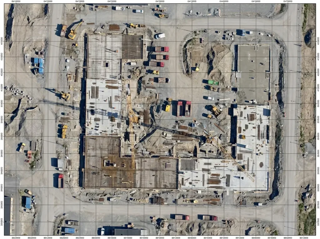
Orthophoto
High-resolution, georeferenced orthophotos that can be used directly for planning, documentation and analysis. They provide an accurate visual representation of the area without perspective distortion.
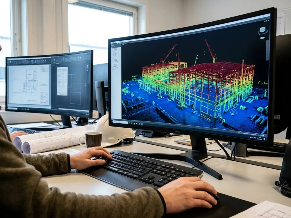
Point Cloud
Detailed point clouds that describe terrain and objects in 3D. Used for further analysis, modelling and verification of structures and ground conditions.
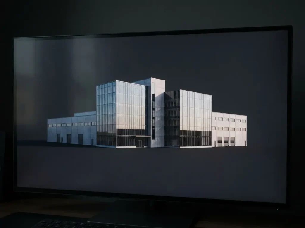
3D Models
Georeferenced 3D models that provide a clear and comprehensive view of the project area. They support planning, visualization and communication between different stakeholders.
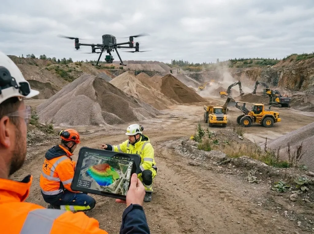
Volume Calculation
Accurate volume calculations of materials, stockpiles and excavations. Provides reliable data for follow-up, invoicing and project management.
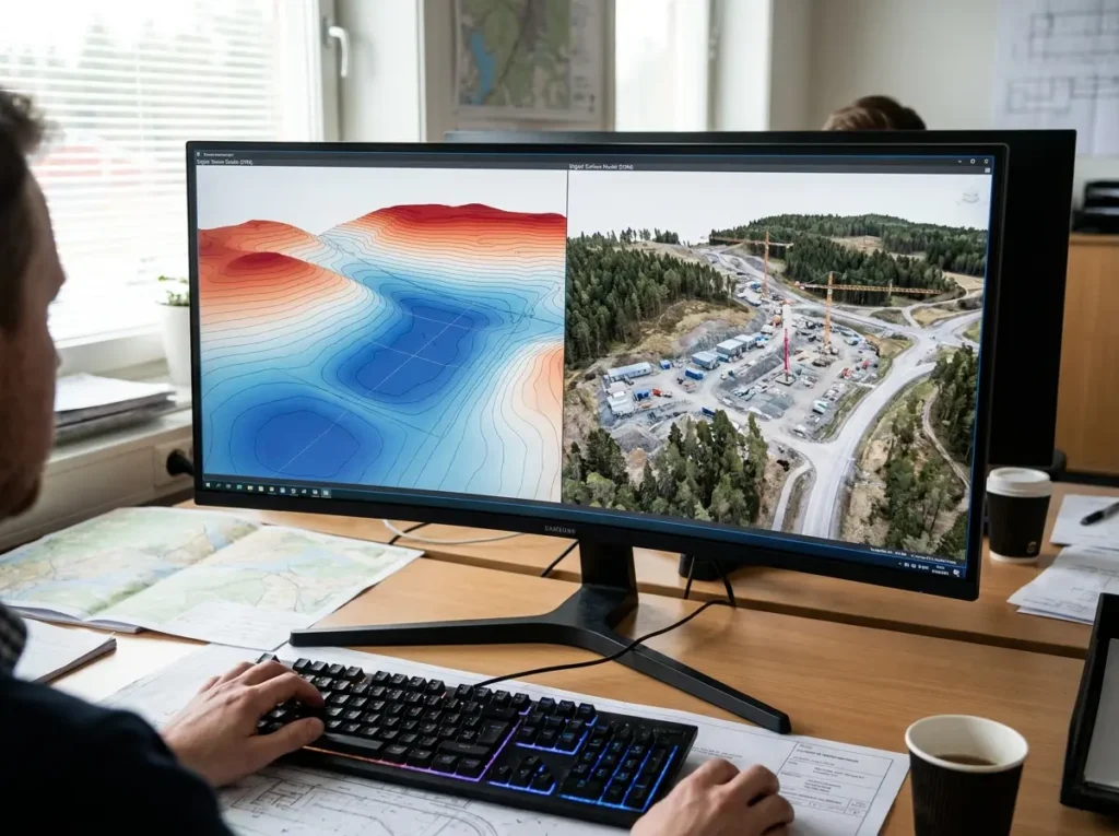
DTM and DSM
Digital terrain models (DTM) and digital surface models (DSM) used for analysing elevation data, slopes and ground conditions.
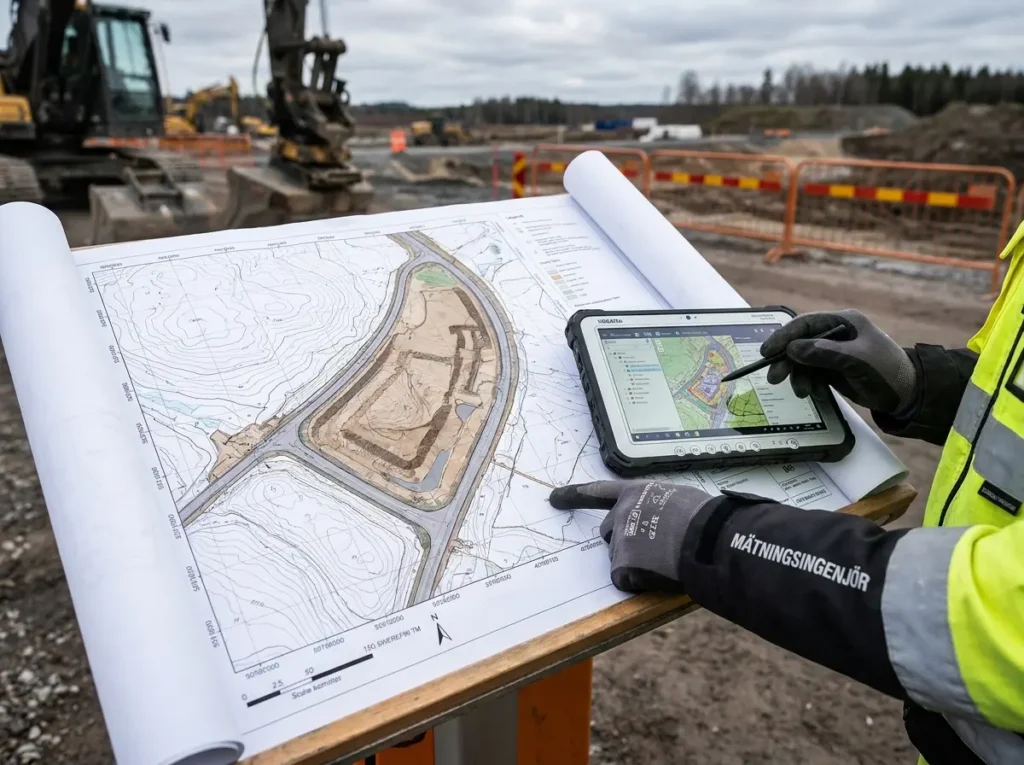
Mapping
Drone-based mapping creates detailed and georeferenced maps of project areas with high precision. Used for planning, design and documentation in construction, earthworks and land surveying. The maps are delivered in formats directly compatible with GIS systems and CAD tools.
How Drone Surveying Works
- Planning
The flight is planned based on the project’s requirements for accuracy, coverage and deliverables. - Data Collection
The drone flies a structured pattern and collects image data across the entire area. - Processing
The data is processed into orthophotos, point clouds and models using specialized software. - Delivery
The results are delivered in formats that can be used directly in CAD, GIS or project design systems.
Benefits of Drone Surveying
→ fast data collection across large areas
→ high accuracy and consistent quality
→ reduced need for fieldwork
→ cost-effective compared to traditional methods
→ up-to-date data for follow-up and analysis
The method makes it possible to work with data-driven decisions and gain better control over the development of the project.
Applications and Equipment
Drone surveying is used in projects where precision, efficiency and up-to-date data are essential. The method is especially suitable for construction, earthworks and infrastructure projects where large areas need to be documented quickly and with high accuracy.
Common applications include:
→ construction sites and development areas
→ road and infrastructure projects
→ quarries, stockpiles and material management
→ planning and project design
→ project follow-up and documentation
To ensure reliable results, professional systems are used for both data collection and positioning.
We work with:
DJI Matrice 350 RTK
A stable and proven system for surveying and data collection in demanding environments.
DJI Matrice 400
An advanced drone platform for larger projects where high capacity and flexibility are required.
Zenmuse L2 LiDAR
Enables high-precision point cloud collection, even in complex terrain or areas with vegetation.
DJI Mavic 3 Enterprise
An efficient and flexible solution for smaller projects and fast data collection.
GNSS Stations / Emlid
Used to establish accurate reference points and ensure high precision throughout the entire workflow.
The combination of the right equipment and a structured workflow makes it possible to deliver geospatial data with the quality required for technical decision-making.tekniska beslut.
Drone Surveying Across Sweden
Stockholm Drone Teknik AB provides drone surveying services across Sweden, with Stockholm as our base.
We work on projects in both urban and industrial environments and adapt each assignment to the required level of accuracy, scope and deliverables.
Book Drone Surveying
Contact us for a review of your project.
We analyse your needs and recommend a solution that provides the right level of data and accuracy.
We work with national reference systems such as SWEREF 99 to ensure high precision in our surveying workflows. Learn more about projections and reference systems at Lantmäteriet.